Bluetooth LE (BLE) Real Time Locating System (RTLS) API

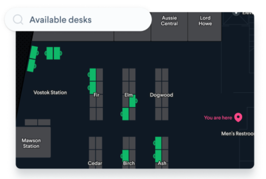
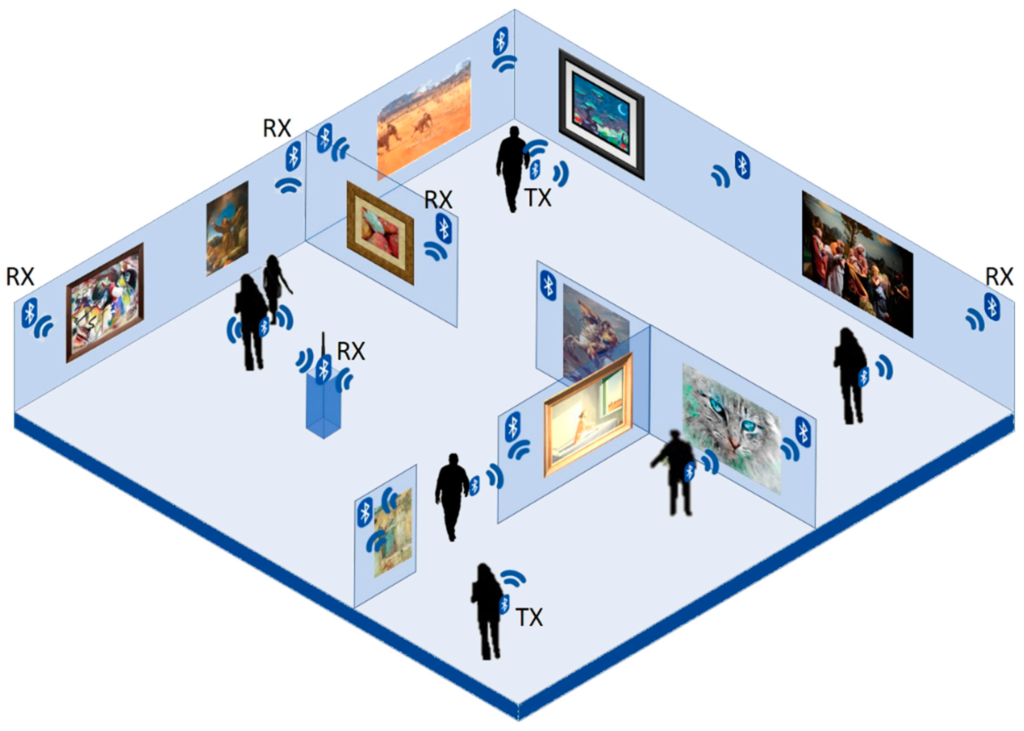
Our BeaconRTLS™ locates valuable plant tools in manufacturing/construction and tracks parts and sub-assemblies. In healthcare it tracks high value equipment, monitors the location and temperature of medicines and saves time searching for equipment and monitoring vulnerable patients. For smart buildings, it tracks valuable assets, monitors lone workers and automatically locates people or students for safety and evacuation.

When we designed v2 of BeaconRTLS™ we purposely omitted any reporting. While the system creates alerts for situations such as area entry/exit, unexpected movement and missing assets there are no text or pdf based reports. For v1, we found that each customer needed different output reporting data. Some needed textual reports, others pdfs, Excel or electronic links to other systems. Some needed current information, historical, special subsets or calculated data. The required data also tends to change over time. For example, room occupancy has recently become important due to the Covid pandemic.

Instead of fixed reports, all the data in the system is open and accessible via a HTTP REST API which makes the system very flexible. Open doesn’t mean insecure because the API can use SSL (https) and authentication (needs a special key to access). We can create reports and part of your solution but it’s simple enough that we find many customers are able to do this themselves. The BeaconRTLS™ user guide provides examples how to use the REST API.

The BeaconRTLS™ API can be used from generic report writers such as jsreport, Jasper and other report writers. Excel Power Query , that comes free with Excel, is useful as it allows importing of data into Excel using a HTTP REST query which can be set up to automatically refresh every so often. Once in Excel, there’s a huge number of ways data can be re-formatted, combined, filtered, presented and forwarded.

The main output information in BeaconRTLS is provided as BeaconLocation data that has the following format:

{
"dateTime": "2020-07-10T10:56:42.809Z",
"RSSI": 0,
"beaconMACAddress": "string",
"gatewayMACAddress": "string",
"beaconType": "string",
"beaconColour": "string",
"beaconLabelAttributes": "string",
"temperature": 0,
"humidity": 0,
"accelerationX": 0,
"accelerationY": 0,
"accelerationZ": 0,
"batteryPercentage": 0,
"batteryVoltage": 0,
"magneticSwitch": true,
"moving": "string",
"proximity": true,
"airPressure": 0,
"lightLevel": 0,
"buttonPress": true,
"id": "string",
"beaconId": "string",
"nearestGatewayId": "string",
"areaId": "string"
}
]

For example, the following REST query fetches the beacon, gateway and time for most recent 20 beaconlocations:

http://<your ip or domain/api/beaconlocations?filter[fields][beaconMACAddress]=true&filter[fields][gatewayMACAddress]=true&filter[fields][dateTime]=true&filter[limit]=20&filter[order]=dateTime%20DESC

Putting this into Excel Power Query gets the data directly into Excel.

Read about BeaconRTLS™

Ignition Supports Bluetooth Beacons

Ignition is a HMI/SCADA system used for factory machine control and monitoring. It uses web-based technology running on an on-site server. It’s configured using a drag and drop user interface to provide HMI/SCADA controls, dashboards, historical trending, database access, reporting, alarming, security, sequential function charts, redundancy and failover control.

Ignition 8.0 has support for Bluetooth in the Perspective App running on mobile devices. It reads iBeacon and Eddystone formats. This allows for functionality based on location.

Read more about Beacons in Industry and the 4th Industrial Revolution (4IR)

Waze Beacons in 18Km of Australia Tunnels

We previously mentioned Waze Beacons in Tunnels in New York City. Since then, Waze beacons have been installed in further cities such as Chicago, Paris, Rio, Brussels, Florence and Oslo. The latest installations are by Transurban who manage tunnels in Australia where they have installed over 930 beacons in 18Km of tunnels.

Waze beacons allow uninterrupted location services underground ensuring drivers never miss an in-tunnel exit. They provide navigation underground where GPS doesn’t work.

The beacons advertise Eddystone. The Waze app sees the beacons and uses the known beacon locations rather than GPS. Google is also a partner which allows Google Maps to also see Waze beacons when driving in tunnels.

Fielddrive for Event Checking and Visitor Tracking

Fielddrive provides machines to manage event visitor flows, providing fast checkin. They also supply the BEACONEX system where wearable beacons track the attendee journey throughout an event allowing show organisers to collect and analyse this data and learn about different aspects of the event.

For more information, visit the Fielddrive blog post What Are Benefits of Beacon Technology for Events?

We have added Fielddrive to the Beaconzone Solutions Directory.

Parking System Using Beacons

Researchers at the University of Toronto and the University of Guelph, Canada, have a new paper on Smart Parking System Based on Bluetooth Low Energy Beacons with Particle Filtering (pdf).

The system uses an Android app and Gimbal Series 21 beacons advertising Eddystone.

The server side uses an RSSI path loss model, based on Bayesian filtering of RSSI, to improve the accuracy of location estimation.

The app provides facilities to register the user/vehicle, locate parking and charge the user based on the exact time used.

Movement Constraint-based Location Tracking

Researchers at the Pusan National University, Korea have a new paper on Applying Movement Constraints to BLE RSSI-Based Indoor Positioning for Extracting Valid Semantic Trajectories.

The received signal strength (RSSI) of beacons is often used to infer location. However, the RSSI is subject to reflection and blocking from walls, people and other obstacles causing the derived locations from the raw data to be ‘jumpy’. There are many ways to process the raw data, such as Hidden Markov Models, k-nearest neighbors and Deep Neural Networks (DNN) to obtain smoother trajectories.

The researchers use movement constraints and sliding-window aggregation to extract invalid trajectories and provide real-time semantic trajectories.

The paper shows the proposed movement constraint-based approach extracts valid trajectories that are comparable to the unconstrained and non-machine language approaches. This new approach is particularly suited to dynamic indoor environments where the reflection and blocking changes over time.

Comparison of Bluetooth LE Locating Methods

There’s research just published on A Comparison Analysis of BLE-Based Algorithms for Localization in Industrial Environments. The research compares trilateration, fingerprinting and a machine-learning based k-nearest neighbors regressor for determining the location from signals from multiple beacons.

Multi-layer perceptron (MLP) schematic model
Error box plots for the three fingerprinting algorithms with different beacon densities. Results for a fingerprint grid with one measurement every 0.5 m.

The results show fingerprinting is better than distance-based schemes in industrial environments due to the presence of large moving metal objects that shadow and reflect wireless signals. The three methods were found to provide similar localisation accuracy. The authors say the machine learning method is best due to less complexity and better adaptability. The machine learning method does not need regular calibration as is the case with fingerprinting.

Read about Determining Location Using Bluetooth Beacons

Bluetooth in Aviation

Bluetooth beacons are increasingly being used in the aviation industry to track pallets, unit load devices (ULDs) and audit temperature, humidity and shock levels.

Cargo Airports & Airline Service magazine has an article on the Bluetooth Revolution where it mentions ULD provider Unilode’s use of Bluetooth tags. Unilode is equipping its 125,000 ULDs with Bluetooth readers. This will take over two years but 80% should be fitted out within 18 months.

The most significant development recently in ULDs is the development of Bluetooth Low Energy tracking devices.

The article mentions how Unilode has been exploring the use of RFID over last 25-30 years. It says Bluetooth provides the solution to RFIDs limits of range, infrastructure cost and interference with aircraft systems. Bluetooth additionally allows monitoring of ambient shipment conditions, temperature sensitive cargo and shock sensitive cargo.

The key benefit of Bluetooth is knowing where units are, all the time, rather than relying on scanned updates. It provides for better utilisation of assets. This makes transport of freight easier, smoother and more efficient.

Real-time monitoring of assets allows the client to immediately know when assets are behind schedule, being routed inappropriately, or in poor conditions.

Bluetooth not only provides a scaleable and affordable way of tracking pallets and unit load devices but can also provide for tracking the status of smaller critical packages such as pharma and and cosmetics goods.

Here at BeaconZone, we have seen beacons used more for airline temperature sensing rather than tracking. For example, iB003N-SHT beacons are used by Qatar Airways to monitor the temperature of pre-flight cargo holding areas.

FIND Framework for Internal Navigation and Discovery

FIND is an open source indoor locating system for home automation, indoor local positioning and passive tracking. It uses your smartphone or laptop to pinpoint your position in your home or office with a location precision of below 10 sq ft.

FIND uses scanning of WiFi and Bluetooth:

FIND compiles these different signals can be compiled into a fingerprint which can be used to uniquely classify the current location of that device

Read the documentation, the FAQ and source code on GitHub.